We’re thrilled to share a new initiative that we have recently formalized,
February 22, 2023


This fall students in our graduate program took their Technology in Practice course with IslandWood adjunct faculty member and instructor, Paul Teske, Ph.D. The course considers the role of innovation and its influence on educational change in relation to the greater cultural landscape. It also works to prepare grad students to be examiners of the world and classroom practice in relation to technology, as well as “doers” who shape practice through the integration of technology. At the end of the course, students are tasked with creating a learning tool while engaging with new technologies.
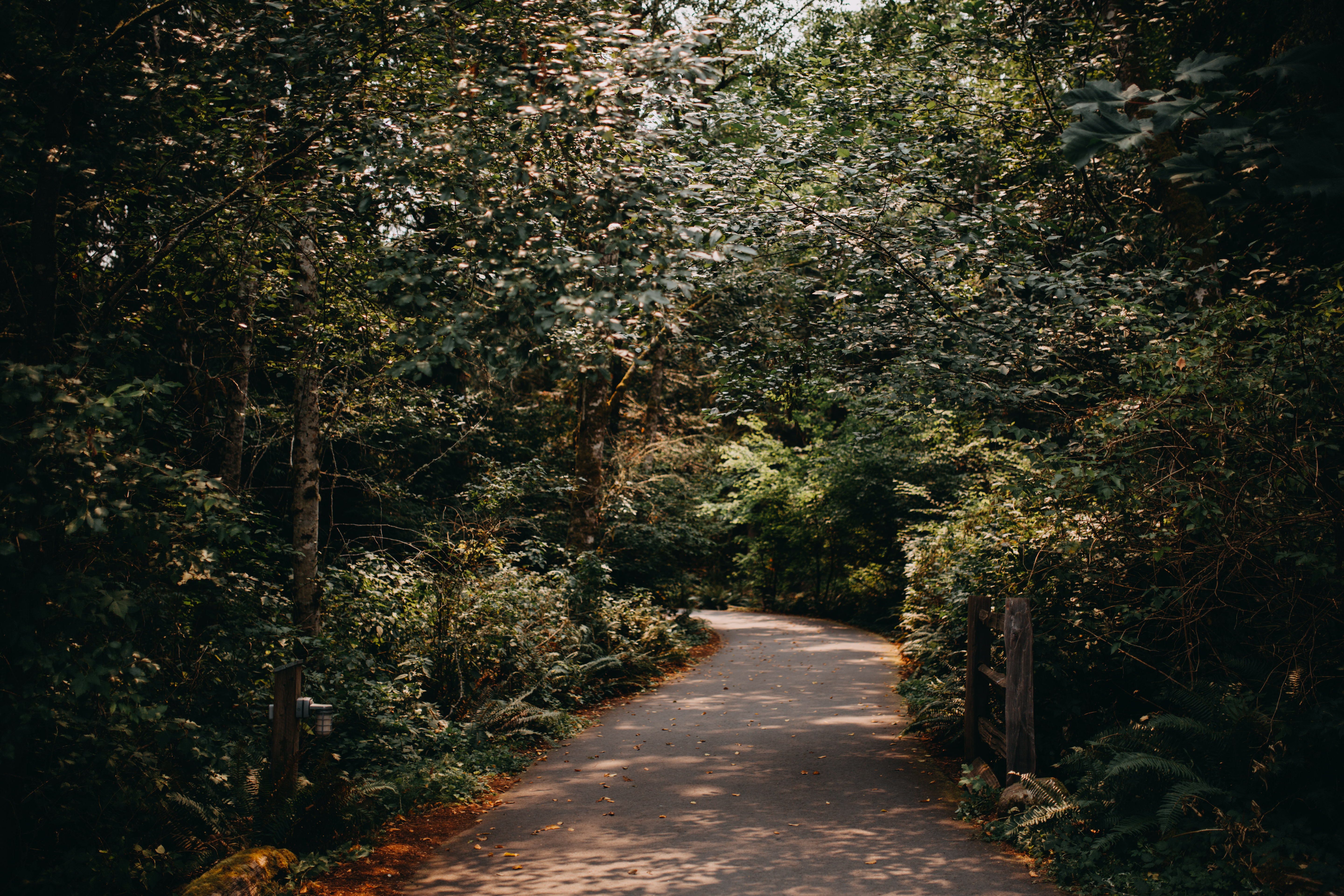
Current graduate student, Amos Pomp, whose Technology in Practice project, “Navigating IslandWood”, supports accessibility & inclusion efforts on IslandWood’s trails.
In this post, we wanted to share the end-of-course project of current graduate student, Amos Pomp. We know you’ll think it’s as cool as we did.
Can you share a bit about your Technology in Practice project?
We were tasked with the assignment of creating an educational learning tool while engaging with new technologies. I love maps and thought it would be great to see if there was a way to create a street-view map of IslandWood’s trails. Discovering the Google Street View app felt like fate. From there, I made an on-the-ground guide through the trails and notable landmarks of IslandWood’s core campus. You can check it out here!
What were your goals in making this interactive guide of IslandWood’s trails?
My main goal is to help current and future grads and IslandWood staff members in explaining how to get to a specific trail, intersection, or location like Mist Net North or Lower Loop Log Circle. I once struggled to find the entrance to campus on the Cemetery Trail, coming back from Blakely Harbor, with a group of students. I hope this tool will help grads when they are in similar situations.
Aside from that main goal, there are other benefits to this project. Can you tell us about those?
- Having online information about and photos of the physical campus can support accessibility and inclusion efforts on IslandWood’s trails
- It offers assistance in planning out lessons for IslandWood’s School Overnight Program or a hike for a group of wedding guests
- The public can see IslandWood’s trails even if they’re unable to access them physically
- It’s fun to zoom around the trails on Google Maps street view
- You can play your own custom games of IslandWood GeoGuessr with friends
How did you create this?
Using an iPhone XR and the Google Street View App, I walked around IslandWood’s trails and took 11,726 individual images to create 286 photo spheres. And that’s only for the completed sections up on the site, not counting bloopers. After publishing the 360-degree photos to Google Maps and properly aligning and connecting them to allow viewers to navigate from sphere to sphere, I used Google Sites to create the “Hitting the Highlights” tour of campus–the crucial, user-facing aspect of my project–which you can find here.
How long did this project take to complete?
Many, many hours! But I really enjoyed being out on the trails, moving very slowly and only a bit at a time, even though I did have to stare at my phone for much of it. It was sometimes difficult to decide which sections of trail needed more photos, and you can certainly tell that many desire more than I was able or willing to capture. And I was always limited by some combination of phone battery, daylight, my own stamina and hunger levels, and various other commitments. While the time on the trails was my favorite, I definitely also enjoyed the puzzle of connecting the dots to make the navigable Google Maps tour.
If you haven’t already, subscribe to our newsletter to stay in the know about blog posts, news, and events!